Nations Online
All Countries in the World
Nations Online All Countries in the World | |
Home  |
___ Searchable Map and Satellite View of Luxembourg |
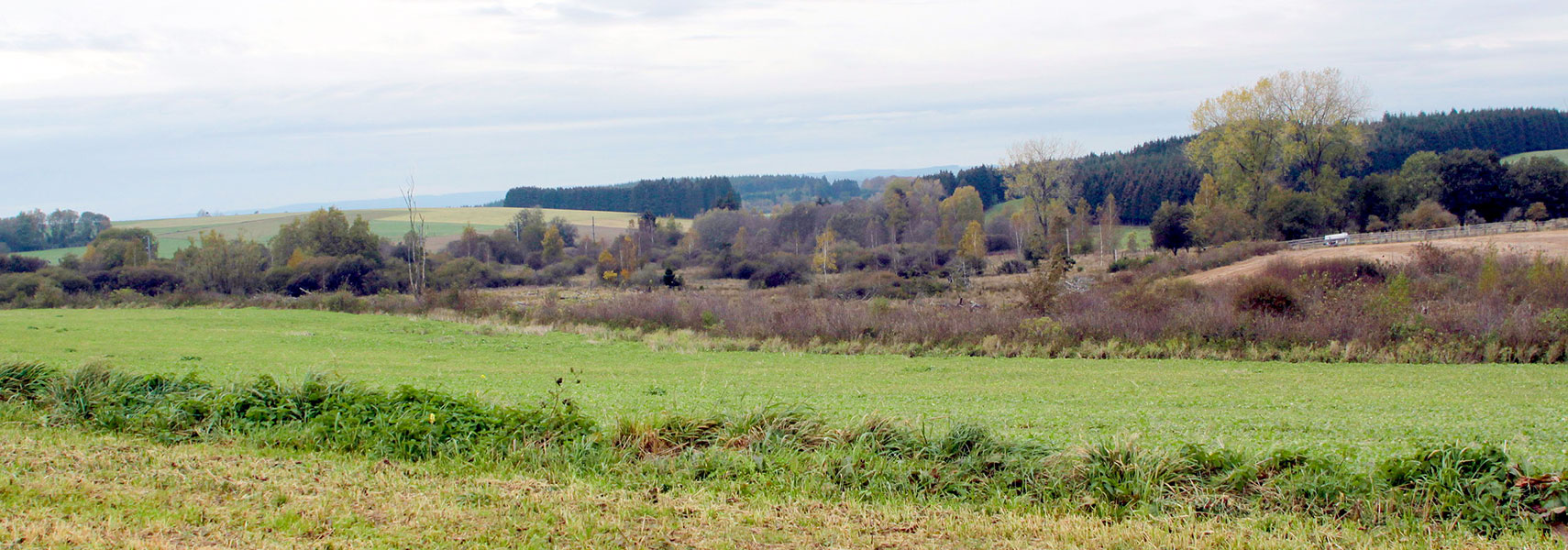 Luxembourg countryside, waterhead of the Fooschtbaach (stream). Image: Les Meloures |
About Luxembourg The map is showing the Grand Duchy of Luxembourg, a landlocked country in Western Europe.
 Luxembourg shares international borders with Belgium to the west and north, Germany to the east, and France to the south. Luxembourg's geography offers two principal regions: the Oesling, part of the Ardennes massif, a hilly region with large deciduous forests in the north, and the Gutland ("good country"), the relatively urbanized region in the south. Luxembourg is a Constitutional Monarchy, a Parliamentary Democracy and a prominent financial center. The country is a member of the Benelux Economic Union and was one of the founding members of the European Union. With an area of 2586 km² (999 sqm), Luxembourg is more than 10 times smaller than neighboring Belgium, or slightly smaller than the U.S. state of Rhode Island. The Grand Duchy has a population of 530.000 inhabitants (in 2015), capital and largest city is Luxembourg-City (Lëtzebuerg), with about 100.000 citizens. Spoken language is Luxembourgish, administrative languages are French, German, and Luxembourgish. The map shows Luxembourg with cities, towns, expressways, main roads and streets. To find a location use the form below. |
| To find a location type: street or place, city, optional: state, country. |
|
φ Latitude, λ Longitude (of Map center; move the map to see coordinates): , |
||||||
| Google Maps: Searchable map/satellite view of the Grand Duchy of Luxembourg. |
Bookmark/share this page |
|||||
| More about Luxembourg: Cities: Country: Continent: |
Weather Conditions Luxembourg
|
Related Consumer Information:
|
||||
Major Cities in Western Europe Amsterdam, Berlin, Bern, Cologne, Brussels, Frankfurt, Hamburg, Monaco, Munich (München), Nice, Paris, Rotterdam, The Hague, Vaduz, Vienna (Wien), Zurich Searchable Maps of other Countries in Western Europe: Austria | Belgium | France | Germany | Liechtenstein | Monaco | Netherlands | Switzerland Political Maps of other Countries in Western Europe: Austria Map | Belgium Map | France Map | Germany Map | Netherlands Map | Switzerland Map |
||||||
Map Help [ show ] |
||||||
One World - Nations Online .:. let's care for this planet Promote that every nation assumes responsibility for our world. Nations Online Project is made to improve cross-cultural understanding and global awareness. More signal - less NOISE |
| Site Map
| Information Sources | Disclaimer | Copyright © 1998-2023 :: nationsonline.org |

