Nations Online
All Countries in the World
Nations Online All Countries in the World | |
Home  |
___ Satellite View of the City of Munich, Germany (45-degree view available) |
 Schloss Nymphenburg in Munich, Bavaria. The Baroque palace was the summer residence of the rulers of Bavaria. Image: Richard Bartz |
About Munich
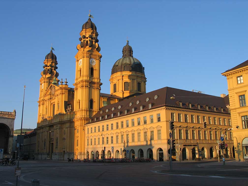
 Frauenkirche (left) and the New Town Hall at Marienplatz, view from Peterskirche, Munich. Image: Thomas Wolf Munich is the economic and cultural center in south east Germany, it is home to the headquarters of BMW and Siemens, two giants in Germany's industry. Other household names based in Munich are Allianz (insurance), Bavaria Film (film production), Dallmayr (coffee), Lodenfrey (traditional Bavarian dress), MAN (trucks), Messe München (trade fairs organizer), Rodenstock (spectacles glasses), Roland Berger (consulting), Süddeutsche Zeitung (daily newspaper). Munich is home to Ludwig Maximilian University of Munich (LMU), one of Germany's oldest and most prestigious universities, founded in 1472. Munich points of interest: The city is world famous for its Oktoberfest, a 16-day festival all about the consumption of beer, that attracts every year millions of people visiting the beer tents (In German: Bierzelte) and fairground attractions. Other points of interest are: Hofbräuhaus am Platzl (the 3-floor beer hall is dating back to the 16th century), Nymphenburg Palace (Baroque palace), Frauenkirche (Bavarian cathedral and iconic symbol of the Bavarian capital), Bavarian National Museum (museum of art and cultural history), Alte/Neue Pinakothek (modern art museums), Museum Brandhorst (modern art collection), Ludwigstrasse (royal avenue), Deutsches Museum (the world's largest museum of science and technology). Palaces: Munich Residenz (Münchner Residenz), former royal palace of the Bavarian monarchs of the House of Wittelsbach, Schloss Nymphenburg, 17th century Baroque palace used as summer residence by Bavarian monarchs. Shopping: Viktualienmarkt (farmer's market), Parks: Englischer Garten, large public park Sports: Olympiapark and Olympic Stadium, Olympic Park constructed for the 1972 Summer Olympics in Munich. FC Bayern München, one of Germany's most famous football clubs is based in Munich. Incidents: Munich gained international attentions in September 1972 with the attack by the Palestinian terrorist group 'Black September' on the Israeli Olympic team members during the 1972 Summer Olympics. The incident coined later the 'Munich massacre' took place in the Olympic Village in Munich, where Israeli athletes were taken hostage by members of the 'Palestine Liberation Organization'. One German police officer was killed during a failed rescue attempt by German authorities. In the end 17 people were dead, six Israeli coaches, five Israeli athletes, five Black September members and one West German police officer. The Olympic competition was suspended eventually, for the first time in modern Olympic history. On 22 July 2016 Ali David Sonboly, an Iranian German (18) killed 9 people at a shopping mall near Olympiapark. The Map shows a city map of Munich with expressways, main roads and streets, zoom out to find the location of Munich International Airport (IATA code: MUC) located 35 km (22 mi) by road (via A9), northeast of Munich. Just zoom in (+), to see Frauenkirche (Cathedral of Our Blessed Lady) at Marienplatz, Munich's famous landmark. To find a location use the form below. To view just the map, click on the "Map" button. |
|
| To find a location type: street or place, city, optional: state, country. |
Local Time Munich:
Sunday-April-28 08:33
Standard Time Zone (CET): UTC/GMT +1 hourCEST (Daylight Saving Time) in use from end of March until end of October. Time zone offset: UTC/GMT +2 hours |
 Map of Bavaria Map of Bavaria |
 Map of Berlin Map of Berlin |
 Map of Brandenburg Map of Brandenburg |
|
 Map of Bremen Map of Bremen |
 Map of Hamburg Map of Hamburg |
 Map of Hesse Map of Hesse |
 Map of Lower Saxony Map of Lower Saxony |
 Map of Mecklenburg-Western Pomerania Map of Mecklenburg-Western Pomerania |
 Map of North Rhine-Westphalia Map of North Rhine-Westphalia |
 Map of Rhineland-Palatinate Map of Rhineland-Palatinate |
 Map of Saarland Map of Saarland |
 Map of Saxony Map of Saxony |
 Map of Saxony-Anhalt Map of Saxony-Anhalt |
 Map of Schleswig-Holstein Map of Schleswig-Holstein |
 Map of Thuringia Map of Thuringia |
Countries and Territories of Europe Searchable Maps of other Countries in Western Europe: Austria | Belgium | France | Liechtenstein | Luxembourg | Monaco | Netherlands | Switzerland |
||
Map Help [ show ] |
||
One World - Nations Online .:. let's care for this planet Promote that every nation assumes responsibility for our world. Nations Online Project is made to improve cross-cultural understanding and global awareness. More signal - less NOISE |
| Site Map
| Information Sources | Disclaimer | Copyright © 1998-2023 :: nationsonline.org |